


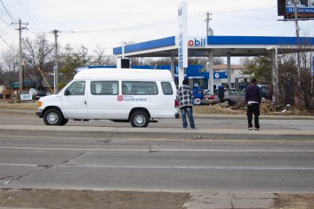
Jaywalking: the Practical Way to Cross North Hanley Rd
In a recent Road Crew Chat on STLtoday.com, one person had a question regarding jaywalking near the North Hanley MetroLink station. mike: at north hanley and I-70, there are pedestrians crossing hanley from the apartment complex between the gas station...
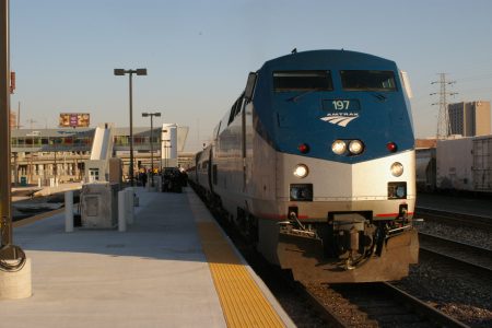
Chicago-St. Louis High-Speed Rail Project Continues to Move Forward
Since September 2010, Illinois has been busy upgrading 90 miles of track on the Chicago-St. Louis rail corridor to support speeds of 110 mph for passenger rail service. This particular project will cost $110 million and if it hasn’t already,...
Realigning MetroLink to Better Serve St. Louis
In the post I wrote last week comparing the Grand and Central West End MetroLink stations, I concluded with a question: “Would additional stations or even a different alignment have better served the neighborhoods MetroLink passes?” As the map above...
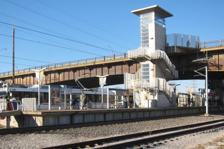
Comparing the Grand and Central West End MetroLink Stations
The original MetroLink line that opened in 1993 between North Hanley and 5th & Missouri is often praised as one of the most creative uses of existing right-of-way and financing for a light-rail line in the United States. MetroLink planners...
Less Congestion, More Sprawl, a Lot More Time in the Car in St. Louis
Good news for St. Louis commuters. According to the 2010 Urban Mobility Report published last week by the Texas Transportation Institute at Texas A&M University, St. Louis is one of the least congested cities in the US. Amongst the 31...
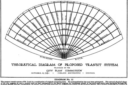
Harland Bartholomew’s “Theoretical Diagram of Proposed Transit System”
Harland Bartholomew came to St. Louis in 1916 at the invitation of the Civic League of St. Louis with the charge of creating a comprehensive plan for the city of St. Louis. Three years later, he was appointed City Planning...
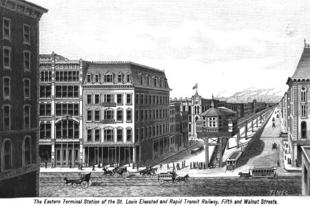
St. Louis Elevated and Rapid Transit Railway
New York built the first elevated railway line in the country on Ninth Ave in 1868. After replacing the initial cable propelled system with steam locomotives, the elevated system began expanding rapidly. By 1882, 3 more elevated railway lines extending...
A San Francisco Fantasy Map
Click on image to view the complete map. Often times my thoughts turn to other cities. This fantasy map for rail-based transit in San Francisco is the culmination of some of those thoughts. Introduction / Mission Bay Station The premise...
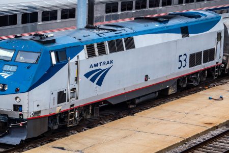
Illinois May Receive More Money for High-Speed Rail
According to the Wall Street Journal and New York Times, the White House is going to redirect high-speed rail money previously allocated to Wisconsin and Ohio to other states including Illinois. Congressional sources say the Obama administration is taking $1.2...
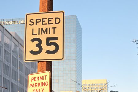
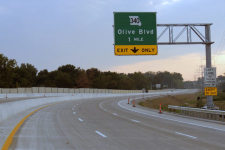
Speeding Through Downtown at 35 MPH
4th St. at Spruce St. The speed limit on the majority of streets in the St. Louis CBD is 25 mph. Outside the CBD, but still within downtown, speed limits are commonly set at 30 mph. Some of the arterial...
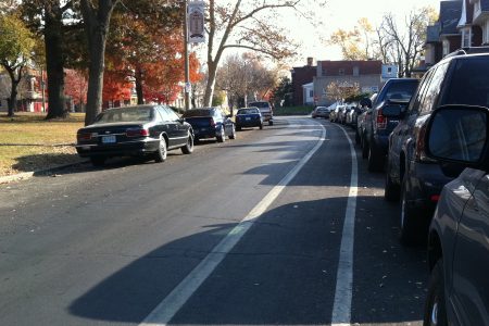
Fountain Park Bike Lane in the Door Zone
Streetsblog San Francisco recently posted an excellent article titled “Why Are We Building Bikes Lanes That Are Hurting People?” The premise of the article is that many bike lanes are marked too closely to rows of parked cars putting cyclists...
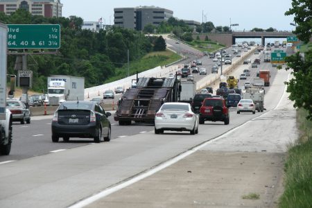
MoDOT Trying to Squeeze More Capacity Onto I-64, Too
MoDOT has ambitions to add capacity to I-64 between I-270 and MO-141, if its recent failed TIGER grant application is anything to go by. Much like its planned project on I-270 between I-44 and Manchester Rd, MoDOT plans to add...