


Transit-Oriented Crap
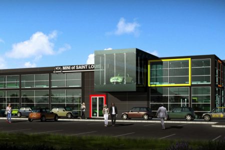
The antithesis of transit-oriented development. That’s what I called the plan for the site adjacent to the Sunnen MetroLink station that is currently under construction, a Mini car dealership surrounded by more than 500 parking spaces. Then I found this...
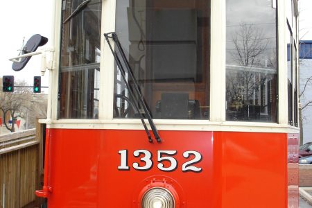
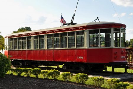
Streetcar Named No Desire to Nowhere
University City Patch published a letter to the editor yesterday from former City Council member Elsie Beck. I assume the letter was motivated by a government meeting held on Monday where the Loop Trolley was a big topic of discussion....
We, the Trees in These Two Rows
Sweet gum trees line the Ackert Walkway Some residents in University City are protesting the possible loss of 55 trees that line the Ackert Walkway between The Loop and Washington University. The university and Great River Greenways would like to...
Thoughts on the Narrow View Taken By the National Park Service
The NPS Environmental Assessment will in fact assess the impacts of the proposed “lid” on the visitor experience, but only in the context of the proposed west entrance, revitalized Luther Ely Smith Square, and connectivity with the Old Courthouse. It’s...
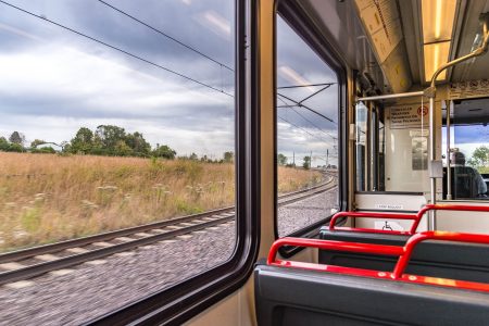
Metro Studying Automation of MetroLink Line in Illinois
Metro recently passed their budget for the 2013 fiscal year. The most widely reported news from Metro’s budget is a planned fare increase that will take affect in July. Details of the far increase will be presented in a series...
Loop Trolley Faces Development, Operation Challenges, Looks to 2013 Groundbreaking
The first of two Loop Trolley and St. Vincent Greenway information update meetings was held last Wednesday at the Missouri History Museum. The next meeting will be held today at the Regional Arts Commission in the Loop, 4:30-7:30 PM. Comments...
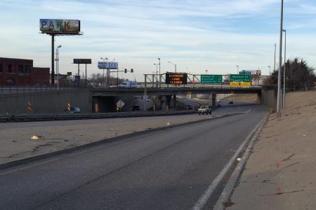
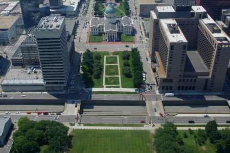
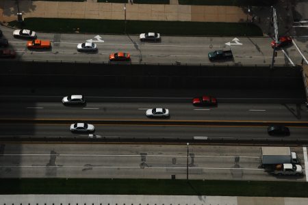
Downtown May Lose Access to I-70 Reversible Lanes
Come 2015, downtown commuters may lose access to the I-70 reversible lanes thanks to a combination of construction for the new Mississippi River Bridge and a landscaped highway “lid” across I-70. When the new Mississippi River Bridge opens to traffic...
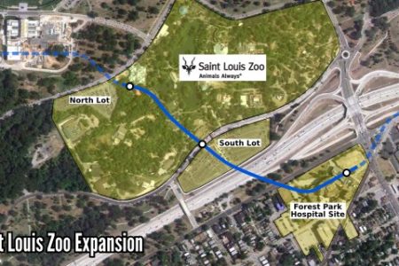
Saint Louis Zoo Announces Expansion Plans, Monorail
I had originally planned on publishing this post on April Fools Day, but in light of the prescient news revealed a few hours ago, I am publishing this post today. I swear I had the idea for this post well...
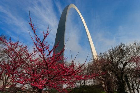
Interstate 70 Is Disturbing the Peace at the Arch
Much has been said how Interstate 70 is a physical barrier between downtown and the Arch grounds—a moat that is crossable in only a few select locations. Less has been said about the psychological barrier the highway presents, particularly when...
Myopia on the Part of the National Park Service
It’s been more than a month since I sent a tweet to @CityArchRiver complaining that their website’s comment form was broken after attempting to submit a comment. The message I attempted to send was as follows: The JNEM EA received...
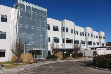
CORTEX Facade
The completion of the CORTEX One building at Forest Park and Boyle in 2006 marked the first tangible step in the creation of a large and bustling life sciences and technology district. That first major building was followed a few...
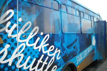
SLU Should Partner With Metro, Not Run Its Own Shuttle
Come late August, downtown will be a bit busier when the Saint Louis University academic year begins and its Law School opens the doors on its new downtown location. Announced with surprise and excitement only 2 weeks ago, the building...